Back نهر الب (نهر) ARZ Алб (Горен Рейн) Bulgarian Alb (suba sa Alemanya, lat 49,08, long 8,34) CEB Альб (тури Рейн юппи) CV Alb (flod) Danish Alb (Oberrhein) German Alb (Norte) Spanish آلب (راین علیا) Persian Alb NN Alb (elv) NB
| Alb | |
|---|---|
 The Alb in Ettlingen | |
| Location | |
| Country | Germany |
| Physical characteristics | |
| Source | |
| • location | South of Bad Herrenalb |
| • coordinates | 48°45′0″N 8°25′22″E / 48.75000°N 8.42278°E |
| • elevation | 751 m (2,464 ft) |
| Mouth | |
• location | into the Upper Rhine at Eggenstein-Leopoldshafen |
• coordinates | 49°6′28″N 8°21′48″E / 49.10778°N 8.36333°E |
• elevation | 101 m (331 ft) |
| Length | 51.5 km (32 mi) [1] |
| Basin size | 448 km2 (173 sq mi) [1] |
| Discharge | |
| • average | 2.5 m3/s (88 cu ft/s) |
| Basin features | |
| Progression | Rhine→ North Sea |
| Tributaries | |
| • left | Moosalb |
| • right | Maisenbach |
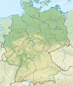
The Alb is a river in the Northern Black Forest in Germany. It is a tributary of the Rhine, and flows through the cities of Karlsruhe, Ettlingen and Bad Herrenalb.
